The Norwottuck Rail Trail is an 11-mile, well-maintained paved trail along what used to be the Boston & Maine Railroad. It’s the longest dedicated bike trail in the Northampton area, and as such is a great trail for cruising fast and getting in a nice long workout. Being a rail trail, it’s generally flat, with some slight inclines, and overall uphill on the way out from Northampton.
There are a number of good places to stop along the way.
Northampton to the Connecticut River
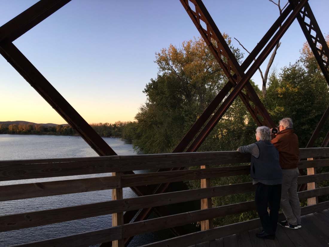
From downtown Northampton, you can now take the Northampton Bikeway north between King Street and the railroad, and then turn east, crossing under the railroad on a new connector that just opened at the end of 2017. From here you cross a couple of streets before you get the the beautiful old railroad bridge crossing the Connecticut River. The bridge is two long spans, with dramatic views up and down the river.
Through Hadley to Maple Farms Foods
There are a few more road crossings (a couple with two adjacent roads you would assume are each one-way, but they are both two-way — watch out!), and then you can cruise on to Maple Farm Foods (about mile 6 if you’re coming from the middle of Northampton). There is a lovely picnic area to the south of the trail, looking out across fields with a picturesque barn and the Holyoke range in the distance. Particularly nice on a crisp fall day.
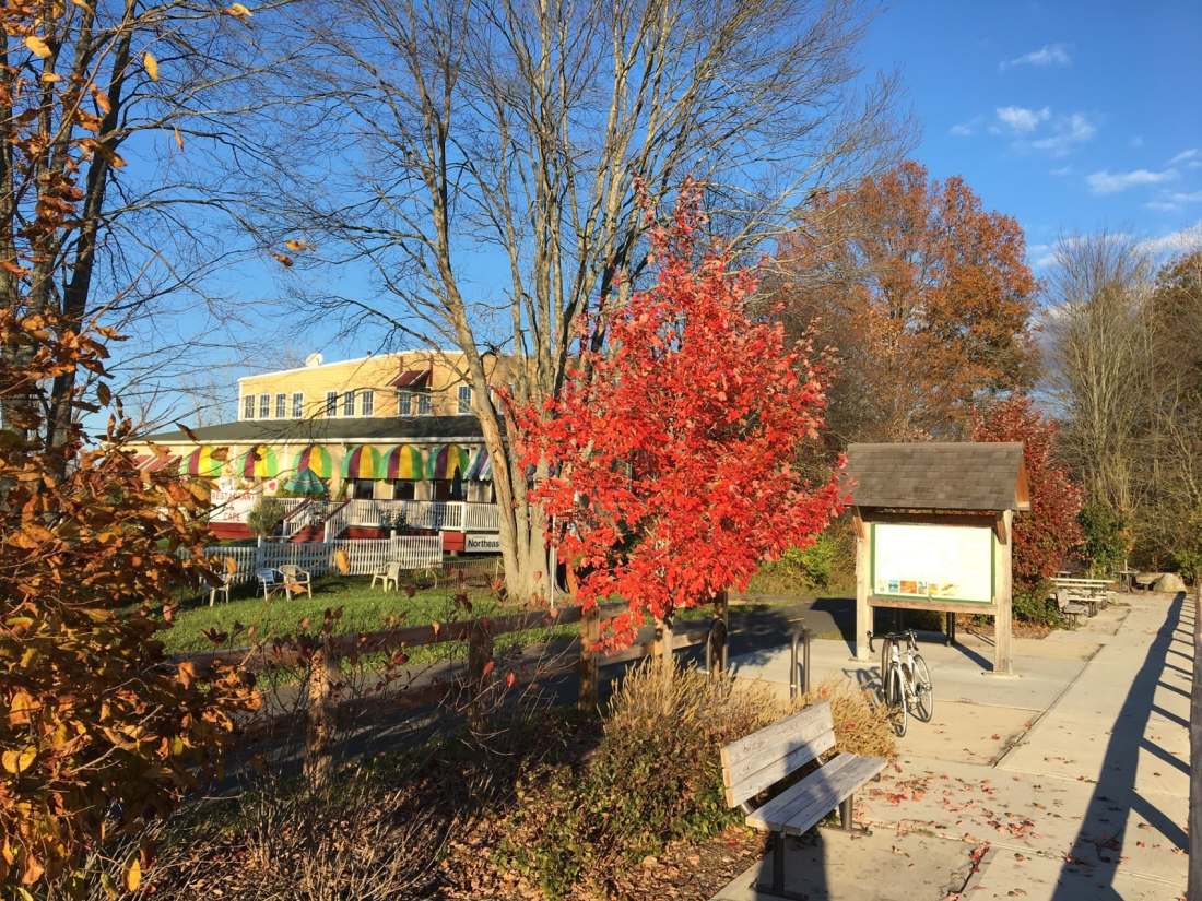
I’m going to do a separate post on Maple Farms Foods, but, in brief: they serve ice cream, some hot foods (including Mexican food which is edible if you have just burned a bunch of calories on a long bike ride and are very hungry) and, bonus: they have a bathroom.
Skirting Amherst and heading south
From Maple Farms Foods, the trail is almost uninterrupted by crossings until you’re nearly to the end. You continue northeast for a bit, with mostly farmland to the south, including a cow pasture which can be both very pretty and very smelly. Also, this is the only place I’ve spotted black squirrels in this part of the country, which took me back to my college days.
Once you’re just south of the Amherst College and the town of Amherst, the trail turns east and then southeast.
Conservation areas and walking trails
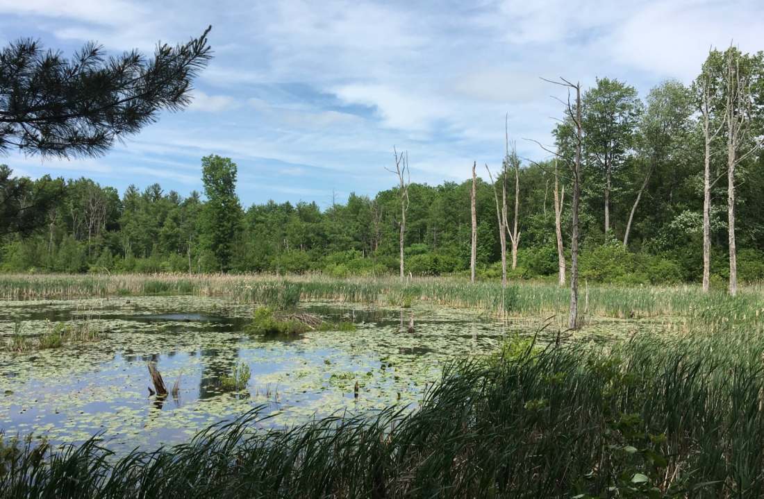
This section crosses over the Fort River, and passes by the Brickyards Conservation Area, Lawrence Swamp, and Poor Farm Swamp. Just at the Fort River bridge, there is Emily Dickinson Trail, and further on there are a number of other walking trail entrances with signs posted along the bike trail which I want to explore — but at this point in the year I need to remember to bring some serious bug spray with me. Big beaver lodges and birdlife aplenty are viewable from the trail, but I was afraid I’d get eaten alive if I even slowed down too much — ‘squitos are bad this year!
I confess, I have only made it to the Station Road parking area so far, and the trail goes about 1.3 miles more, with Lawrence Swamp on its southwest side. Next time!
